
- Reaction score
- 13,694
- Points
- 1,160
Another small 'X' in the win column.
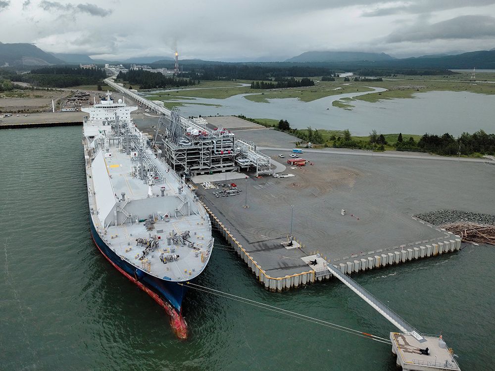
$10B Ksi Lisims LNG project in northwest B.C. receives environmental certificate
the province said the approval of the environmental assessment certificate came after a nearly four-year process by the Environmental Assessment Office (EAO).
It says the EAO consulted with 10 area First Nations as it made the recommendation to issue the certificate.
Some of them, like the Kitselas First Nation and the Gitga'at First Nation, were in support of issuing the certificate.
NOTE: according to the map provided, the LNG location looks to reside on 'Gitga'at First Nation' land. I cannot see where the pipeline route goes.
Would be interesting AND beneficial for ALL of the public, to show the pipeline routes and where the lands of the First Nations that are in favour of the LNG (or other natural resource initiatives) are located and where the lands of those First Nations that are against it reside. Dollars to doughnuts I'm willing to lay down money that more often that not those that are against the initiative are not having the pipeline go through their land and are potentially losing out on revenue sources.
Interestingly enough, some aspects of FN territorial boundaries are 'confidential', so you might not ever see a map like that shared publicly...
Try playing around with these maps

Interactive Map | BC Treaty Commission
Discover, explore, and learn about First Nations in BC with our Interactive Map. This is not an exhaustive list of all First Nations in BC.
 bctreaty.ca
Curiously the FN map doesn't include boundaries. It only shows settlements (is that the right word for an indigenous community?)
On the other hand the BC Treaty Commission seems to be replete with overlapping claims.


_42938.jpg)

