“Uber for Artillery”
Today, Ukraine’s software offense is perhaps best embodied by a software package called
Geographic Information System Art for Artillery (“GIS Arta” for short). A GIS is any computer software used to depict and manipulate geographic data. GISs are in use across numerous industries and sectors. For example, popular mobile navigation app Google Maps is a GIS. GIS Arta weaves together disparate targets, sensors, and artillery units into an “
Uber for artillery.” Uber uses algorithms to optimize across riders, positions, and traffic to assign trips to drivers in a given geographic area.
GIS Arta uses an algorithm to optimize across variables like target type, position, and range to assign “fire missions” to available artillery units. Users connect to GIS Arta using phones, laptops, and tablets connected to military radios, cellphones, or the Starlink satellite internet system.
Artillery units connect to the network and mark themselves open for “jobs” in much the same way that Uber drivers make themselves available for potential rides in a phone app. A graphical interface with touch capability allows users to select targets, after which artillery batteries within range are highlighted for fire missions. The time from target acquisition to fire mission can be as little as
30 to 45 seconds. Information in GIS Arta is sourced from drones, targets reported by forward observers armed with cell phones, counter battery radars, and satellite-based imagery. GIS Arta even embeds information like munition suitability into its targeting process. For example, a mortar team can be assigned to attack personnel in the open, or an artillery unit can be assigned to attack a vehicle target. With GIS Arta,
multiple guns in different locations can be brought to bear on the same target all at once.
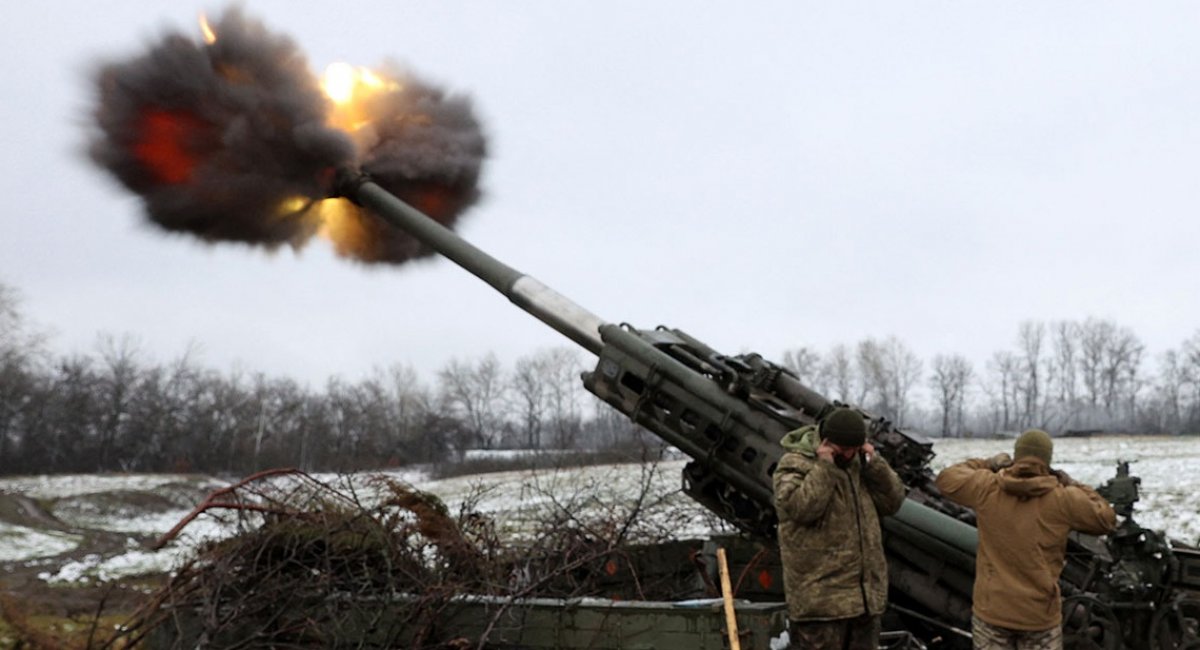
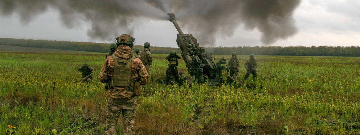
GIS Arta allows for the dynamic employment and deployment of Ukrainian artillery on the battlefield. Ukraine’s batteries can
displace, or “shoot and scoot,” setting up, firing, and moving on again from one location to the next within minutes rather than hours. This reduces the opportunities Russia has to engage in devastating counter battery fire. (Of note, Ukraine is likely playing a similar game of cat-and-mouse to
protect its Patriot batteries around Kyiv in the face of attack by Russian hypersonic missiles.) GIS Arta also allows Ukraine to overcome a significant artillery hardware disadvantage. On some parts of the front line, Russian artillery outnumbers Ukrainian hardware
20 to one. GIS Arta acts as a “force multiplier,” increasing the effectiveness of each given artillery unit by enabling them to take on more targets, more accurately, and with less time and risk.
GIS Arta is, at its core, an application like any other found on a common smartphone or computer. Like Uber or Google Maps, it needs infrastructure and human capital to sustain it. Human developers write and maintain its code. They also build and maintain the networked systems it lives on. With multiple users spread across a vast physical and cyber space, GIS Arta has many points of entry that must be secured. Like any smartphone or computer application, it is vulnerable to cyber threats and must be updated on a continuous basis to maintain its integrity. Ukraine has built an ecosystem capable of developing and protecting software like GIS Arta thanks to a concerted, long-term investment in its information technology sector.


