So back to Littoral Operations based on the latest input from the UK's Defence Investment Plan
The RN is revisiting its amphibious transport situation.
Currently the RN operates
2 CVs capable of lifting 250 to 900 troops
3 LSD(A)s capable of lifting 350 to 700 troops
8 OPVs capable of lifting 18 to 50 troops
The Type 45s, 26s and 31s have the ability to lift about as many troops as the OPVs.
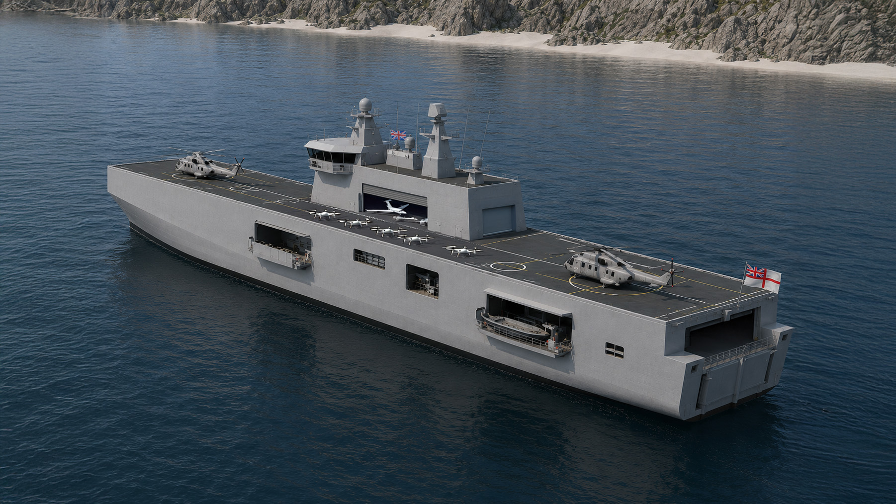
There was an intention to build something in the 25 to 40,000 tonne range to support 3 Commando Brigade but that brigade has been refashioned into the UK Commando Force of two Littoral Response Groups and reroled for dispersed long range raids rather than concentrating for a shock landing. Its new connectors, the Commando Insertion Craft - is a totally enclosed 60 tonne vessel of 24 m capable of landing troops and small vehicles over high seas at 40 to 50 knots. A lot of emphasis on UxV support.
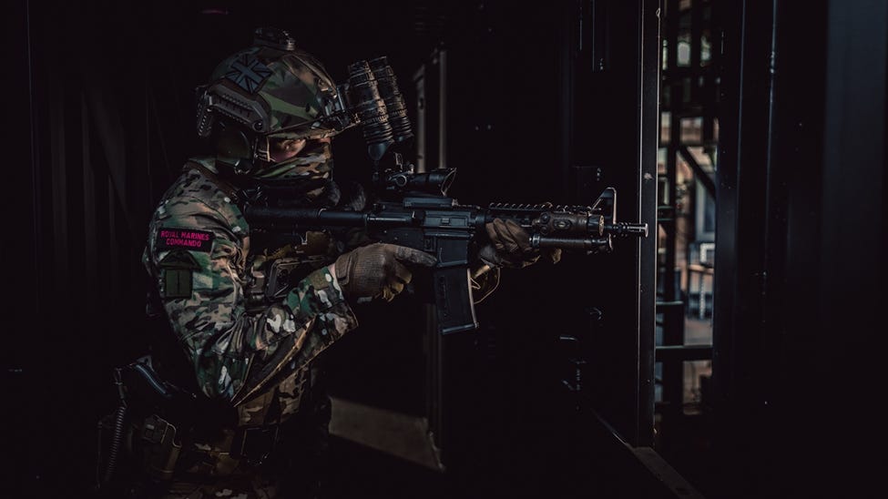
A new era for the Royal Marines has arrived and to reflect their bold modernisation 3 Commando Brigade is to be known officially as the UK Commando Force, as announced by His Majesty The King.

www.royalnavy.mod.uk
The UK and Norway have launched a joint effort to define a new generation of high-speed armed commando craft, intended to support littoral operations in contested environments. A Request for Information (RFI) from industry signals early market engagement for what could become a £237 million...

www.navylookout.com
This has resulted in the RN downsizing its requirements and putting it back in line with the Dutch Navy's Amphibious Transport programme.
The Defence Investment Plan (DIP) is expected to be published this week. In advance of publication, the MoD has already made some announcements about the shape of the future fleet. Here, we consider the issues surrounding the Commando Force. In something of a surprise announcement, the RN now...
www.navylookout.com
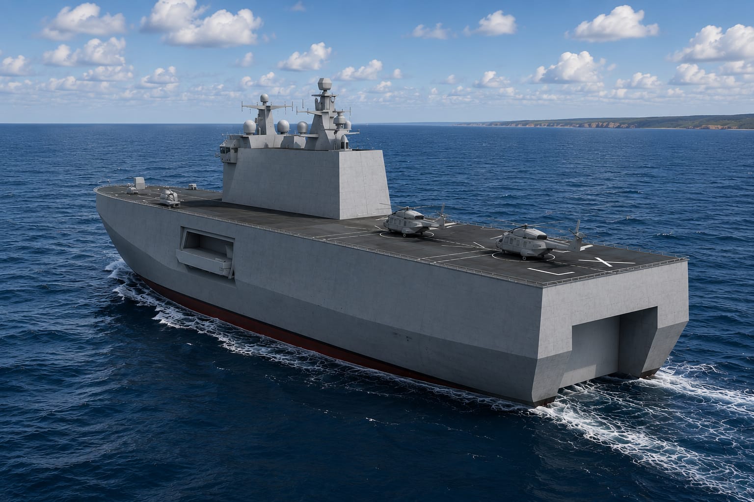
Instead of the 25 to 40,000 tonne LPDs sought by the RM/RN the Dutch were seeking something smaller. They were seeking to replace their LPDs (12-16,000 tonnes) and their OPVs (3700 tonnes) with something estimated to be in the 7-10,000 tonne range with a length of 150 meters. They are expected to have flooding deck wells and large flight decks and crews of 60 to 70. Damen has received the contract to build something based on their Enforcer series with is related to both the Dutch LPDs and the British LSD(A)s.
The Royal Netherlands Navy will procure a single class of ship to replace its existing fleet of LPDs and OPVs in the 2030s

www.navalnews.com
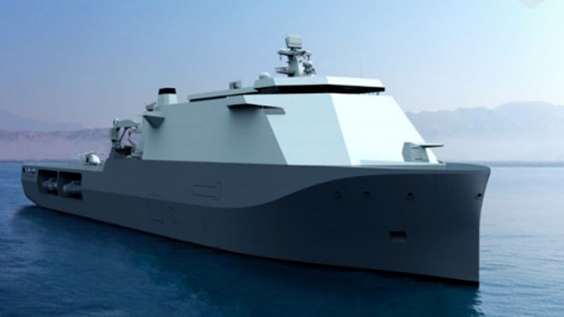
Interestingly Damen has just completed a 107 m, 7000 tonne Multi-Role flat top for the Portuguese navy designed to support UxV operations.
That vessel has a crew of 48 and was built at a cost of 132 MEuro. It has a carrying capacity of 300 troops,
On April 7, Damen Shipyards Galati in Romania has launched the Multi-Purpose Vessel 10720 NRP D. João II for the Portuguese Navy.

www.damen.com
Ships being replaced
Johan de Witt (176 m, 15500 tonnes, 146 crew, 555 troops)
Rotterdam (166 m, 12750 tonnes, 139 crew, 595 troops)
Bay (176 m, 16,200 tonnes, 70 crew, 350 to 700 troops)

en.wikipedia.org
en.wikipedia.org
en.wikipedia.org
Holland (108 m, 3750 tonnes, 54 crew, 40 pax)
en.wikipedia.org
....
This bit falls into pure speculation - if the Dutch are looking to a vessel to support distributed operations, including replacing their OPVs, and if the Brits and the Dutch have been using their OPVs and LPD/LSDs to support hybrid operations then is it possible that the Brits, who are looking at what they do with their own OPVs might consider covering off some of their OPV duties with this same vessel?
River (90 m, 2000 tonne, 34-50 crew, 50 troops)
en.wikipedia.org
Options under consideration include replacing the Batch 1s with a new Batch, buying more, building more Type 31s in simpler configurations or doing something else.
...
The Dutch spec calls for a crew of 60 to 70, similar to their Hollands, not much more than the Brit Rivers and about the same as the Portuguese Multi Purpose.
And the Portuguese ship was built for 132 MEuro, the Hollands were built for 117 MEuro in 2012, the Rivers Batch 2 for 116 MUKP in 2014.
The Dutch LPDs were built for 260 Mio Guilders in 1996-2007 and the Bays were built for 149 MUKP from 2002-2007.


")