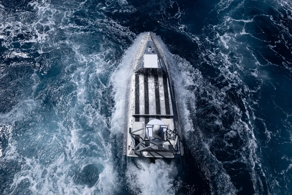
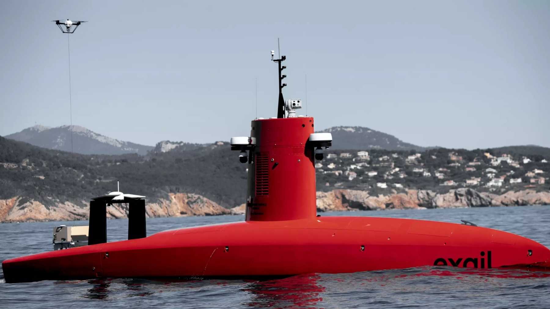
Privatization.
Democratization.
Littoral operations.
Deep sea operations.
Ship design implications.
RN Atlantic Bastion programme with their engagement of the private sector for situational awareness.
All are reflected in this article about the USN engaging 6 companies to map and survey the Indian Ocean using commercially available tools including USVs.
The U.S. Navy has selected six companies to send long-endurance unmanned vessels across the Indian and Pacific oceans, where they will build high-resolution maps of the seabed without relying entirely on large, crewed survey ships. Six companies, AOR International LLC

defence-blog.com
"Six companies, AOR International LLC of Melbourne, Florida, Blue Water Autonomy Inc. of Lexington, Massachusetts, Chance Technologies LLC of Lafayette, Louisiana, Link Technologies Inc. of Germantown, Maryland, Ocean Power Technologies Inc. of Monroe Township, New Jersey, and Saildrone Inc. of Alameda, California, were awarded a combined $40,000,000 multiple-award contract to provide high-resolution ocean floor mapping services using long-endurance unmanned surface vehicles for the Naval Oceanographic Office, known as NAVOCEANO, according to a Department of War contract announcement."
....
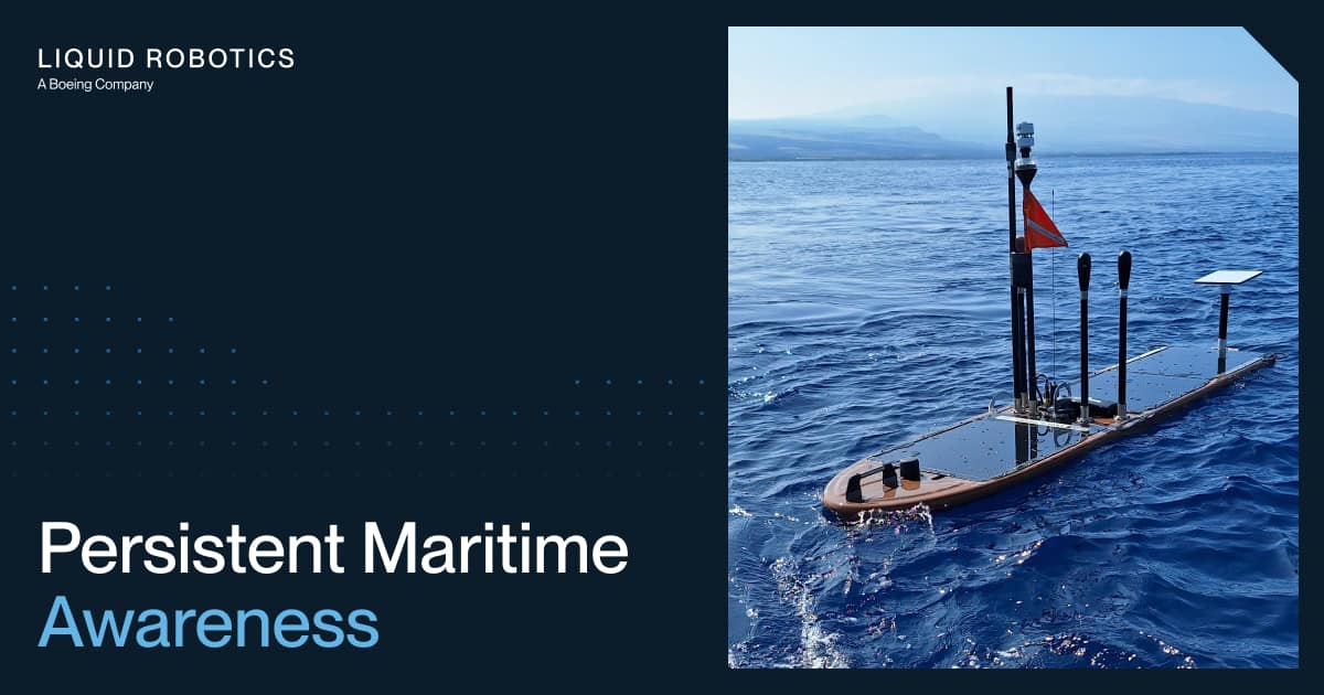
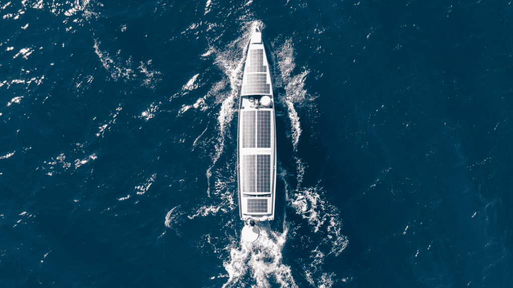
"The unmanned surface vehicles likely to perform this work represent a considerable leap over traditional ocean mapping methods, which have historically required a crewed research vessel and a trained onboard team working for weeks or months at a time. Saildrone, one of the six awarded contractors, has already built vehicles specifically for this kind of mission, including its 20-meter (65.6 ft) Surveyor-class vehicle, a wind and solar-powered platform capable of sailing for up to 100 days at sea while carrying Kongsberg multibeam sonar systems that map the seafloor down to depths of 11,000 meters (36,089 ft) to standards set by the International Hydrographic Organization. Vehicles like this replace the need for a large crewed ship and its associated fuel, staffing, and logistical costs, letting the Navy collect detailed seafloor data across vast, remote stretches of ocean at a fraction of the traditional expense and without putting sailors at sea for extended, isolated deployments."
...
Add in the commercialization of the MUSV programme (together with containerization)
....
The trend - the USN is letting the commercial sector take the risks it is comfortable taking and buying the service from the market place.
The USN doesn't have to take on all the risks associated with a programme of record and definitive solutions. It can purchase what is available and figure out how to make best use of it.
It doesn't need to fit every last bolt and grommet. It can rent a hull and drop a container on board, Or it can buy the comms link. Or it can buy the data generated commercially. Just like buying Google Earth imagery and Starlinks comms.
....
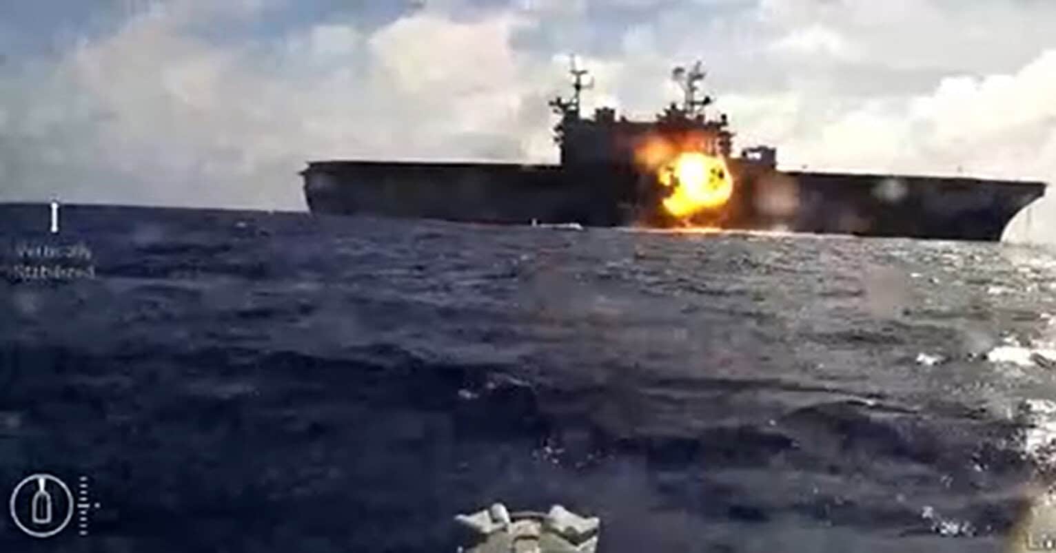
Edit: For industry the risk of supplying uncrewed vessels to a war zone is entirely manageable as a financial risk. It involves no personal hazard, no salaries or pensions or injury. The vessel can be written off / purchased on destruction. The financial cost of the vessel is relatively small (5-15 MUSD). The provider makes money as long as the vessel provides the service. If the vessel is destroyed in the commission through the actions of the client then the client buys the destroyed vessel - Pottery Barn rules (you break it you bought it).