- Reaction score
- 13,698
- Points
- 1,160
The changing Arctic
I am going to guess that also means more muskeg.
I am going to guess that also means more muskeg.

It probably means that the permafrost line is moving north. A lot of permafrost ground is already technically muskeg - just frozen. The creation of muskeg/bog/peatland takes centuries.The changing Arctic
I am going to guess that also means more muskeg.
It probably means that the permafrost line is moving north. A lot of permafrost ground is already technically muskeg - just frozen. The creation of muskeg/bog/peatland takes centuries.
HBC might have operated York Factory (near the mouth of the Hayes River) until 1957 but steel was never laid to Port Nelson (near the mouth of the Nelson river, 18 Euclidian km north). Port Nelson never operated.That Churchill railway, in 1912 it was the next big thing. The line to Prince Rupert was almost finished. It opened in 1914. The RNWMP had already set up operations at both Churchill and York Factory adjacent to Port Nelson and esablished M Division as their Hudson Bay Division. Those ports were still going concerns up until 1957 when the HBC closed its York Factory operations.
Funny. I never knew he died on the Titanic.Prince Rupert was knee capped by the loss of Charles Hays when the Titanic sank, taking him and his capital with him. I suspect that ship going down cost the Canadian economy dearly.

HBC might have operated York Factory (near the mouth of the Hayes River) until 1957 but steel was never laid to Port Nelson (near the mouth of the Nelson river, 18 Euclidian km north). Port Nelson never operated.
")

 www.linkedin.com
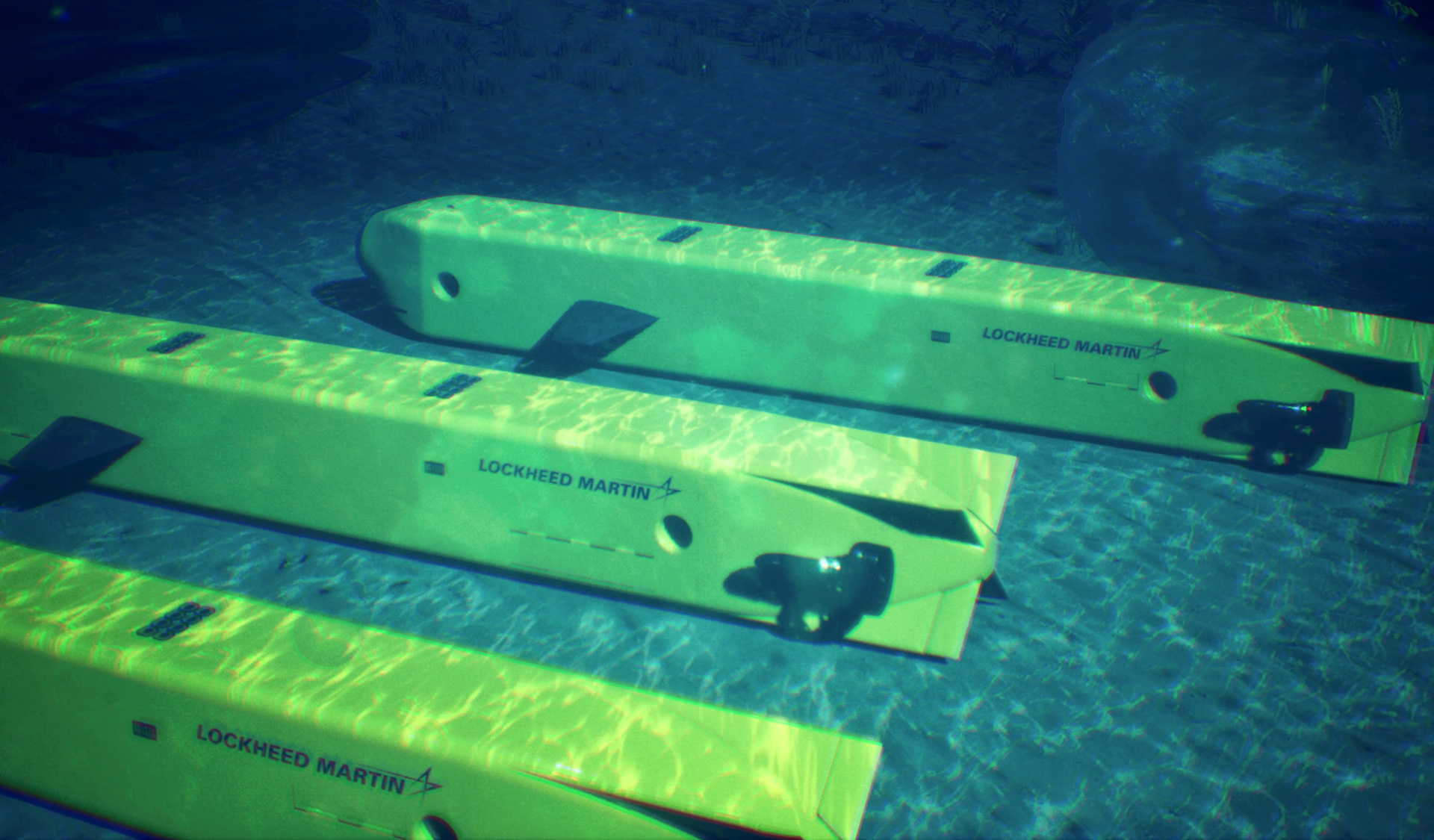
Then there's the elephant in the hydrographic survey room
My latest article “Canadian Arctic Hydrography: Proceed with Alacrity” has just been published in the Canadian Naval Review (Volume 21, Number 3, 2026). With its percentage surveyed to a standard adequate for safe navigation standing at a paltry 15.8%, the waters of the Canadian Arctic are woefully inadequate for submarine operations. As Canada pursues a fleet of new submarines with particular emphasis on defence and security in the Arctic region, it is imperative that this deficiency be addressed. My article suggests dedicating significant hydrographic survey capability to the task and considers bringing the Canadian Hydrographic Service to join the Canadian Coast Guard under the umbrella of the Department of National Defence.
Canadian Arctic Hydrography: A Critical Deficiency for Submarine Operations | Tom Tulloch posted on the topic | LinkedIn
My latest article “Canadian Arctic Hydrography: Proceed with Alacrity” has just been published in the Canadian Naval Review (Volume 21, Number 3, 2026). With its percentage surveyed to a standard adequate for safe navigation standing at a paltry 15.8%, the waters of the Canadian Arctic are...
WWI halted construction around present day Gillam, and national restructuring of all railways except CP because of their collective insolvency delayed further construction until 1925. Sometime in the intervening years, probably a result of better surveying, they came to the realization that the mouth of the Nelson River was unsuitable as a harbour due to silting, shallowness and currents and switch to Churchill. Although further away, it had a naturally deep (ish) habour and somewhat less sailing time.Correct. But that was primarily because WW1 intervened and disrupted pre-WW1 plans based on the National Policy and membership in the British Empire Trade Zone.
WWI halted construction around present day Gillam, and national restructuring of all railways except CP because of their collective insolvency delayed further construction until 1925. Sometime in the intervening years, probably a result of better surveying, they came to the realization that the mouth of the Nelson River was unsuitable as a harbour due to silting, shallowness and currents and switch to Churchill. Although further away, it had a naturally deep (ish) habour and somewhat less sailing time.
If they had stayed at Port Nelson, I suspect the whole concept of a blue water port and railway would have died a natural death in a few years, simply because of the cost to maintain navigation.
For small waterwaysThen there's the elephant in the hydrographic survey room
My latest article “Canadian Arctic Hydrography: Proceed with Alacrity” has just been published in the Canadian Naval Review (Volume 21, Number 3, 2026). With its percentage surveyed to a standard adequate for safe navigation standing at a paltry 15.8%, the waters of the Canadian Arctic are woefully inadequate for submarine operations. As Canada pursues a fleet of new submarines with particular emphasis on defence and security in the Arctic region, it is imperative that this deficiency be addressed. My article suggests dedicating significant hydrographic survey capability to the task and considers bringing the Canadian Hydrographic Service to join the Canadian Coast Guard under the umbrella of the Department of National Defence.
Canadian Arctic Hydrography: A Critical Deficiency for Submarine Operations | Tom Tulloch posted on the topic | LinkedIn
My latest article “Canadian Arctic Hydrography: Proceed with Alacrity” has just been published in the Canadian Naval Review (Volume 21, Number 3, 2026). With its percentage surveyed to a standard adequate for safe navigation standing at a paltry 15.8%, the waters of the Canadian Arctic are...

 calgaryherald.com
The defence of Canada and assertion of sovereignty are high priorities of the Government of Canada, and the Arctic and northern regions are seen as being vital to both. This is why a network of Northern Operational Support Hubs (NOSH) is being established to enable greater CAF presence and responsiveness across northern regions through the provision of infrastructure and logistical support.
The NOSH Program is a major infrastructure enterprise projected to take 10 to 20 years to complete at a cost of $2.67 billion. At full operational capability (FOC) it will form a dispersed network of logistical stations comprised of several principal NOSH sites and secondary Northern Operational Support Nodes (NOSN) connected by one or more transportation spokes.
“These sites will be either purpose-built or may utilize repurposed infrastructure where available.” said Mr. Jean-Marc Doucet, NOSH Program Director. “Where feasible, NOSH sites will also be able to support other federal departments and agencies operating in the region, as well as territorial, provincial, and municipal governments as part of a whole-of-government approach to ensuring a safe, secure, and well-defended Arctic and northern Canada.”
Sites designated as NOSN may be permanent or relocatable. At a minimum, NOSN sites will be capable of acting as a forward operating base (FOB) to a sub-unit-sized Joint Task Force (JTF) or detached element for a minimum of 30 days.
“Categorization of each site as either a NOSH or NOSN will be based upon the inherent operational support capacity, the capabilities and capacity of key enabling civilian infrastructure in proximity to each site, and the potential availability of commercial support and service solutions,” said LCol Rob Thompson, NOSH Sustainment Plans Officer.
The NOSH team is currently focused on engagements with Indigenous partners and northern communities, regional governments, and federal departments and agencies operating in the region to determine where shared aims exist with CAF operational requirements. The siting process is expected to start fall/winter 2025 which will entail site visits, environmental assessments, and regulation review — steps necessary before construction or repurposing of existing infrastructure can commence. Other sites will be identified once all military requirements have been determined.
Supporting CAF operations is the priority of NOSH, but with the aim of providing lasting benefit to the communities in which it maintains a physical presence. Primary benefits realized through NOSH investment in dual-use capabilities will be both operationally essential and offer enduring community utility, such as airports, seaports, medical capacity, and alternative power generation being areas for consideration.
“DND/CAF has a role to play in whole-of-society emergency preparedness while delivering on our core mission to defend Canada, including the Arctic and northern regions in partnership with NORAD, NATO, and other international allies and assisting in the safety of Canadian citizens through the provision of support during domestic disasters or major emergencies, and through the conduct of Search and Rescue (SAR) operations,” said LCol Thompson.
The establishment of NOSH and NOSN sites will, for the first time, provide a purposed matrix of operational support facilities across the Arctic and northern regions of Canada. This foundational backbone of operational support infrastructure will underpin the CAF’s ability to respond to crisis with increased speed and then sustain and support these operations for extended periods.
I can't help but see echos of the old Hudson Bay Company network in this plan. The NOSH sites being analogous to the HBC Forts/Factories and the NOSN sites being similar to the Posts/Depots. It worked then so I can't see why it shouldn't work now.March 6, 2025 – Iqaluit, Nunavut – Department of National Defence / Canadian Armed Forces
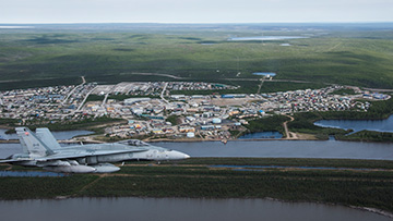
Today, the Honourable Bill Blair, Minister of National Defence, announced Iqaluit, Inuvik, and Yellowknife as Northern Operational Support Hub locations. These will increase the Canadian Armed Forces' presence and responsiveness across the Arctic and the North.
Country-wives were an essential part of that HBC system in the early stages, not sure how well that concept would go over these days......Part of the new Arctic strategy is the development of Northern Operational Support Hubs/Nodes (NOSH/NOSN).
Northern Operational Support Hubs enables the projection and sustainment of military forces in the Arctic
The defence of Canada and assertion of sovereignty are high priorities of the Government of Canada, and the Arctic and northern regions are seen as being vital to both.www.canada.ca
Minister Blair announces First Northern Operational Support Hub locations - Canada.ca
Today, the Honourable Bill Blair, Minister of National Defence, announced Iqaluit, Inuvik, and Yellowknife as Northern Operational Support Hub locations.
I can't help but see echos of the old Hudson Bay Company network in this plan. The NOSH sites being analogous to the HBC Forts/Factories and the NOSN sites being similar to the Posts/Depots. It worked then so I can't see why it shouldn't work now.
For the Node sites I wonder if rather than rotational postings to these austere locations you might instead adapt an all volunteer system for those that might enjoy this type of opportunity. The old HBC posts sometimes were staffed with only 1-3 men who acted not only as traders but as liaisons with the local communities, a source of emergency shelter/supplies, etc. Personnel could fill a similar role, not only maintaining the pre-positioned equipment and supplies but coordination with the local Ranger Patrol and other Government agencies, provide facilities for fly-in services (e.g. vaccinations, etc.) and emergencies, SAR assistance, etc.

