daftandbarmy
Army.ca Fossil
- Reaction score
- 46,975
- Points
- 1,160
Most of the BC coast would be toast after these big ones...

There's this 1958 tidal wave caused by a rockslide that makes that look calm...So I watched a show about Noah's Ark this morning. According to a historian there was an eruption so big it caused a tidal wave with a wave over 400 feet high. Really interesting stuff.
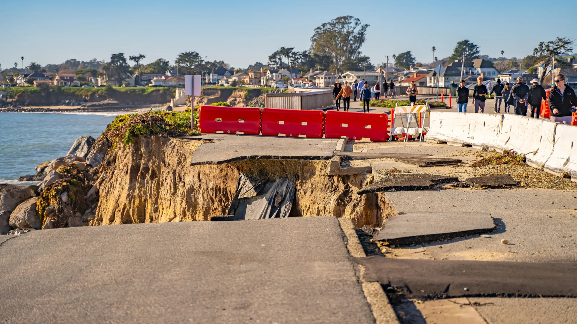
Researchers are suggesting that if/when "the big one" hits the Pacific North-West it could quite possibly trigger another "big one" along the San Andreas Fault causing devastation all along the Pacific Coast from BC to California.
They were drilling off Oregon. What they found could shake all of California
Scientists have uncovered evidence that megaquakes in the Pacific Northwest might trigger California’s San Andreas Fault. A research ship’s navigational error revealed paired sediment layers showing both fault systems moved together in the past. This finding hints that the next “Big One” could...www.sciencedaily.com
")


Meanwhile, in La La Land
The Most Doomed City in Canada
What the Big One will do to Victoria
Victorians live in one of the most doomed cities in Canada. It is a scientific certainty that the B.C. capital will be visited with a scale of civic destruction not seen in this country since the 1917 Halifax Explosion. Faced with a 50 per cent chance of a major quake happening within the next 80 years, it is more likely than not that many of the future victims of the Big One are already alive. Despite it all, Victoria often continues to act like a city that doesn’t stand on the brink of catastrophe.
The B.C. capital has the unique curse of being simultaneously threatened by several types of earthquakes at once. It is the closest Canadian population centre to the Cascadia Subduction Zone, the coming-together of two major tectonic plates that will eventually slip and yield “the Big One,” an earthquake expected to be a magnitude nine or greater. The city also sits directly atop a fault line, the Leech River fault, that can cause highly destructive shallow earthquakes. Victoria is also imperiled by “inslab” earthquakes—small slips from deep within the subduction zone that can radiate upwards.
Compounding the hazard is that Victoria is one of the oldest cities in Western Canada. The same brick buildings and historic homes that make the city a magnet for tourism are also the most vulnerable to the destructive power of an earthquake. Many of those buildings also stand atop soft soil expected to intensify the effects of any shaking.
A “Big One” level earthquake could be expected to kill up to 1,500 people in B.C., utterly dwarfing any disaster that has yet struck the province in modern times.
View attachment 96400
Earthquake damage map of Victoria in a worst case scenario. Anything coloured red is expected to suffer “complete” damage, meaning buildings will either collapse or require demolition after the fact.


Not to mention it has a decent chance of triggering the Yellowstone super volcano when/if it happens...Researchers are suggesting that if/when "the big one" hits the Pacific North-West it could quite possibly trigger another "big one" along the San Andreas Fault causing devastation all along the Pacific Coast from BC to California.
They were drilling off Oregon. What they found could shake all of California
Scientists have uncovered evidence that megaquakes in the Pacific Northwest might trigger California’s San Andreas Fault. A research ship’s navigational error revealed paired sediment layers showing both fault systems moved together in the past. This finding hints that the next “Big One” could...www.sciencedaily.com
 www.squamishchief.com
Parts of Victoria could use an enema like that….Meanwhile, in La La Land
The Most Doomed City in Canada
What the Big One will do to Victoria
Victorians live in one of the most doomed cities in Canada. It is a scientific certainty that the B.C. capital will be visited with a scale of civic destruction not seen in this country since the 1917 Halifax Explosion. Faced with a 50 per cent chance of a major quake happening within the next 80 years, it is more likely than not that many of the future victims of the Big One are already alive. Despite it all, Victoria often continues to act like a city that doesn’t stand on the brink of catastrophe.
The B.C. capital has the unique curse of being simultaneously threatened by several types of earthquakes at once. It is the closest Canadian population centre to the Cascadia Subduction Zone, the coming-together of two major tectonic plates that will eventually slip and yield “the Big One,” an earthquake expected to be a magnitude nine or greater. The city also sits directly atop a fault line, the Leech River fault, that can cause highly destructive shallow earthquakes. Victoria is also imperiled by “inslab” earthquakes—small slips from deep within the subduction zone that can radiate upwards.
Compounding the hazard is that Victoria is one of the oldest cities in Western Canada. The same brick buildings and historic homes that make the city a magnet for tourism are also the most vulnerable to the destructive power of an earthquake. Many of those buildings also stand atop soft soil expected to intensify the effects of any shaking.
A “Big One” level earthquake could be expected to kill up to 1,500 people in B.C., utterly dwarfing any disaster that has yet struck the province in modern times.
View attachment 96400
Earthquake damage map of Victoria in a worst case scenario. Anything coloured red is expected to suffer “complete” damage, meaning buildings will either collapse or require demolition after the fact.
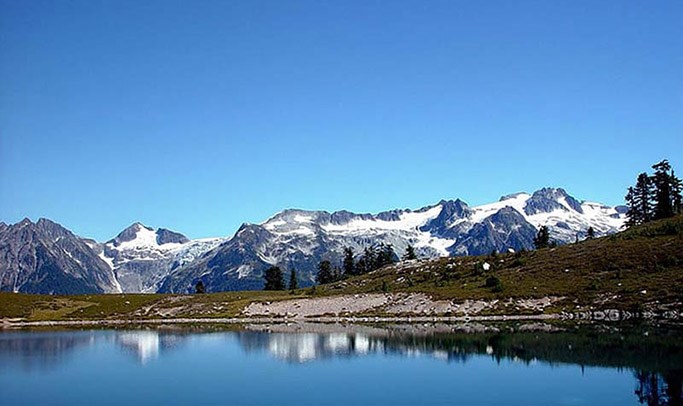
So you are saying this is really bad....Anyone climbed the Barrier path before? Very steep... and geologically fragile. It holds back Garibaldi Lake, between Squamish and Whistler.
Gawd help Squamish, and points south including the east coast of Vancouver Island, if the earth sneezes
Garibaldi Lake a ticking time bomb?
According to Quest student Greyson Herdman, the hazards of the lake are well known by the District of Squamish (DOS) but there’s not a lot the district can do. Herdman has been hired by the DOS to write a new flood report and has been examining the various water hazards the district faces.
“If the barrier were to explode or fall apart in an earthquake, the wave that would be produced by all that water flowing out of Garibaldi Lake down into Squamish would be 120 metres high,” he estimates.
“That’s what the DOS recognizes and doesn’t even talk about because we can’t do anything about it.”
Garibaldi Lake a ticking time bomb?
Quest professor receives funding to research lava barrier
So you are saying this is really bad....
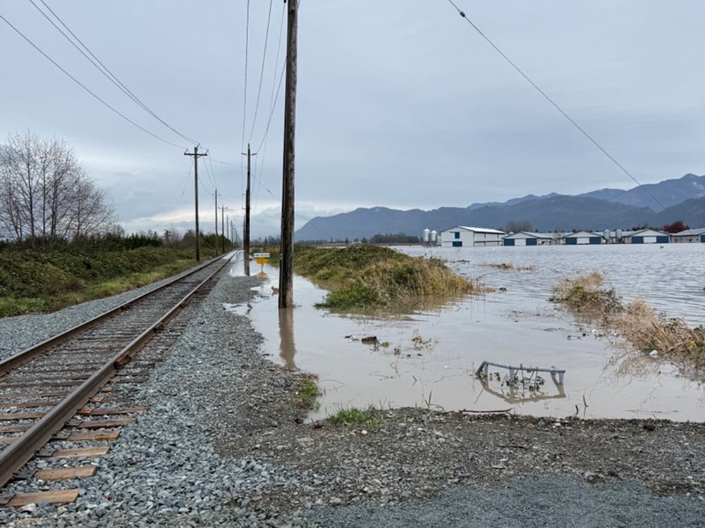
Meanwhile, the biggest floods since 2021 are smacking the Fraser Valley upside the head ... and another 100mm of rain is coming tomorrow:
The Fraser Valley Is Flooding Again. Are We Ready?
As The Tyee reported last month, Canadian and U.S. politicians at various levels of government pledged to co-operate to find ways to reduce the Nooksack’s threat immediately following the 2021 flood. In the years since, work has proceeded, albeit slowly, on some key efforts. At the same time, momentum has lagged and the federal government has seemingly walked away from verbal commitments made by Prime Minister Justin Trudeau in the wake of 2021’s flooding.
On Wednesday night, Emergency Manager Minister Kelly Greene said the federal government has been absent from flood mitigation conversations. And Abbotsford officials remain deeply aggrieved that the federal government has rejected funding applications despite promises made by Trudeau and his ministers immediately after 2021.
The Fraser Valley Is Flooding Again. Are We Ready? | The Tyee
UPDATED: As the Nooksack spills north, some lessons learned, and ignored, since the 2021 disaster.thetyee.ca


